Shishapangma: Exploring the Northern Route 希夏邦马 (c)
Previous Page: Shishapangma: Exploring the Southern Route (b) 上一页:希夏邦马 (b)
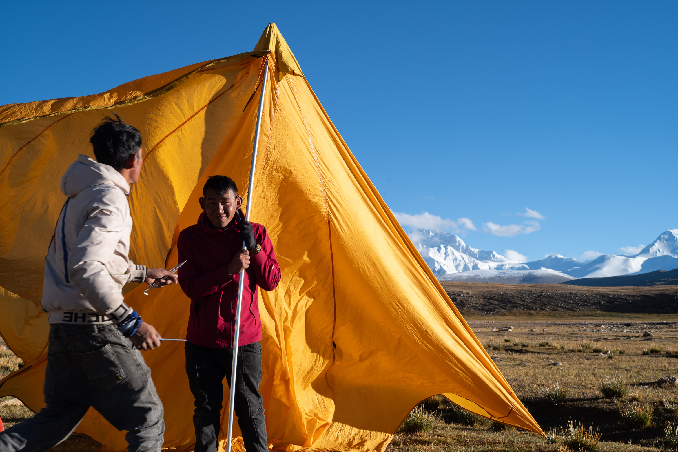
The photographs featured on this page were captured along the Northern Route of the Shishapangma trekking circuit. This route serves as the primary access for mountaineers attempting to summit Shishapangma, and along the trail, several memorials stand in solemn tribute to climbers who lost their lives during their expeditions on this formidable peak.
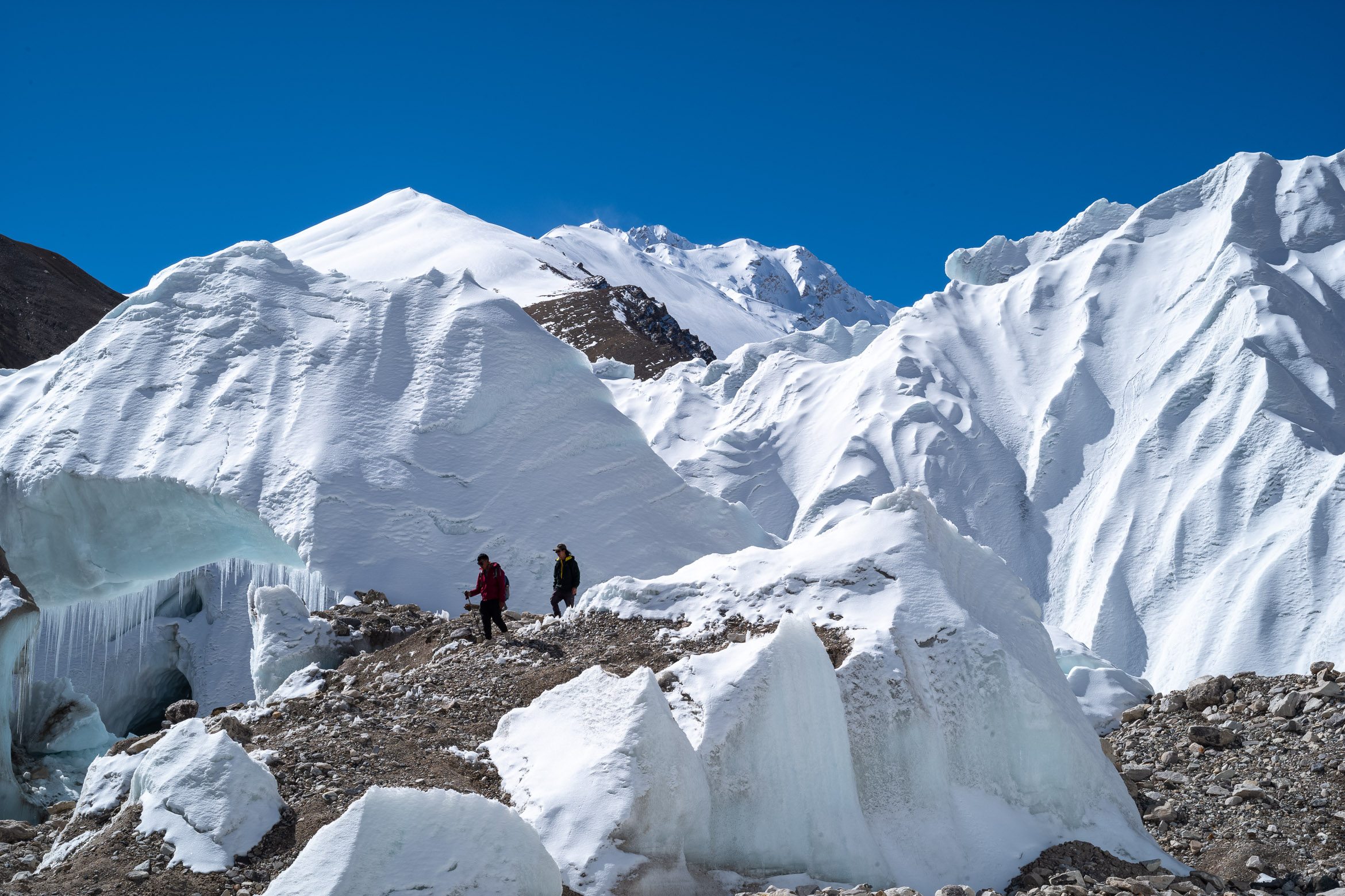
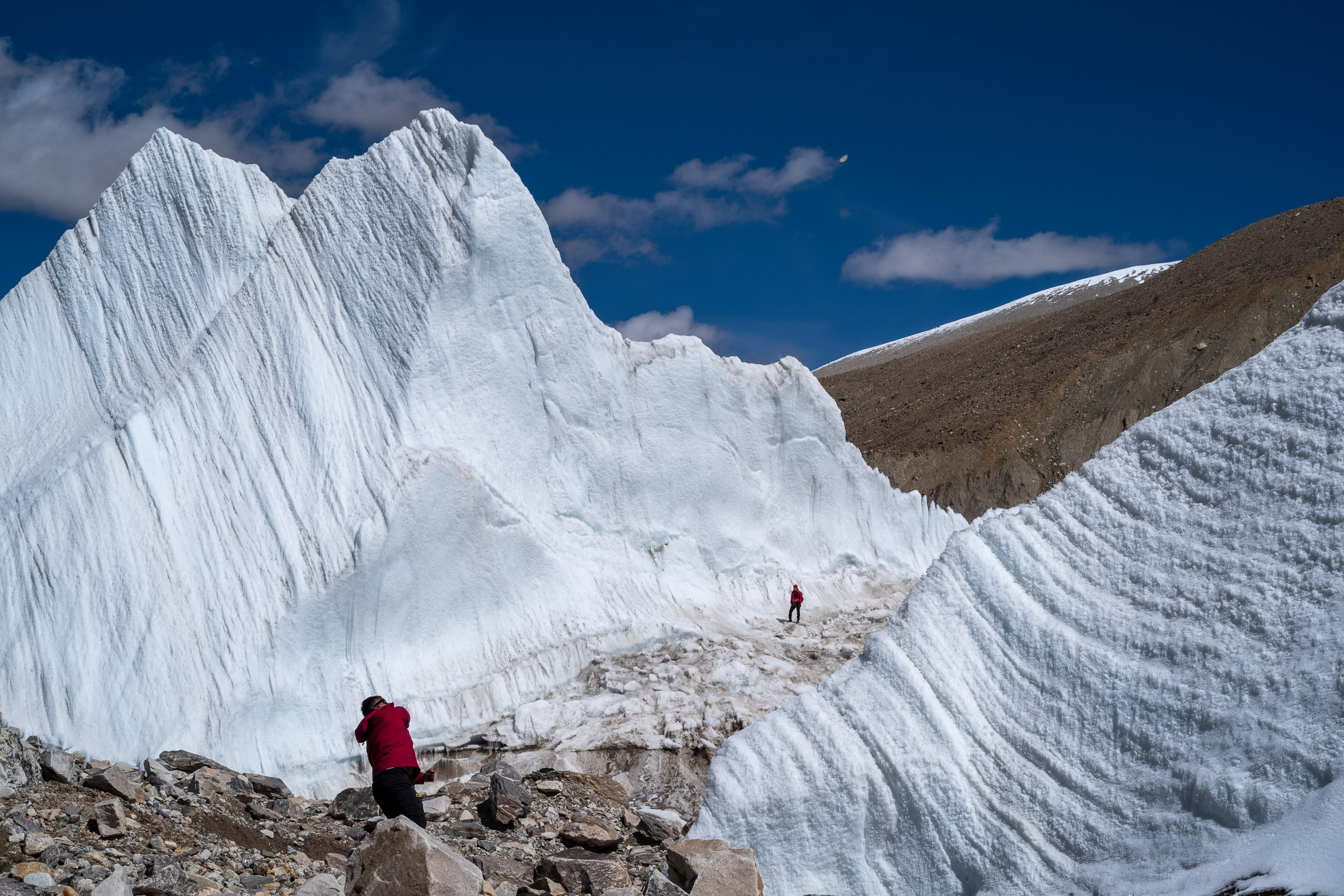
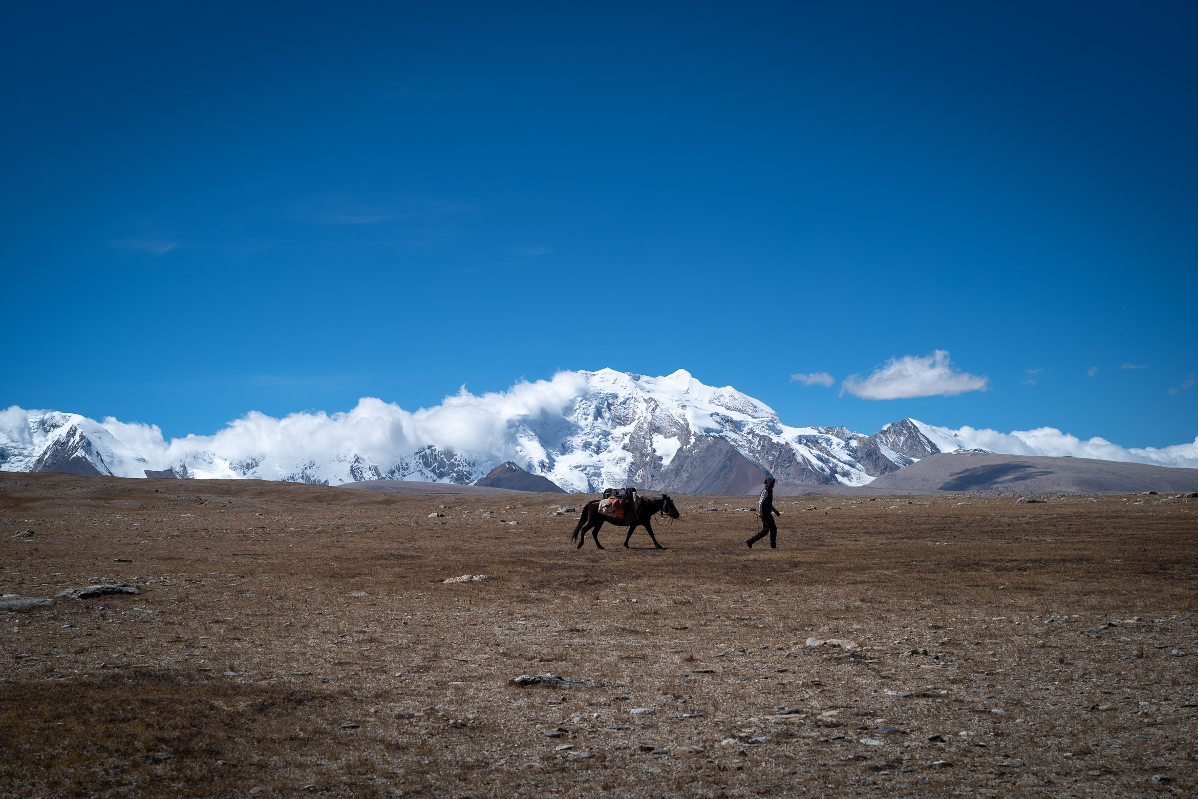
Compared to the more varied landscapes of the Southern Route, the Northern Route presents a relatively stark and minimalist scenery. Hikers typically begin their journey from a campsite at approximately 5,000 meters elevation, following a gentle slope that leads to the glacier area around 5,900 meters. The route offers opportunities for overnight camping in this high-altitude glacial environment, providing a unique perspective on the mountain’s northern aspects.
这里的照片全部拍摄自希夏邦马徒步环线的北线。这条路线是登山者尝试攀登希夏邦马峰的主要通道,沿途矗立着几座纪念碑,庄严地纪念那些在这座 formidable 山峰探险中失去生命的登山者。
与南线更多样的景观相比,北线的景色相对单一而简约。徒步者通常从海拔约5000米的露营地出发,沿着缓坡前行,最终到达海拔约5900米的冰川区域。这条路线提供了在这个高海拔冰川环境中过夜露营的机会,让人们能够从独特的角度欣赏山峰的北侧面貌。
Preparing to establish camp in the high-altitude environment 在高海拔环境中准备建立营地 Glacial landscape along the Northern Route of Shishapangma 希夏邦马北线沿途的冰川景观 Massive glacier formations characteristic of Shishapangma’s northern approach 希夏邦马北侧路线特有的巨大冰川结构 High-altitude terrain with sparse vegetation and rocky outcrops 植被稀疏、岩石露头的高海拔地形 Hikers engaging in a stone-throwing game during a rest break 休息期间徒步者玩丢石头游戏 Campsite established at 5,700 meters elevation on the Northern Route 北线上海拔5700米处的露营地 Hiker traversing the glacial moraine on the approach to Shishapangma 徒步者穿越冰碛前往希夏邦马峰 Panoramic view of the Shishapangma Northern Route landscape 希夏邦马北线景观的全景视图